Training material
Videos
Here you can learn more with a long list of videos
Geo-informatics
Newspace in Germany: Success Stories, Emerging Trends and International Collaboration.
2 Oct 2025 | by
Agriculture
Invited Talk by Dr. Sven Gilliams on GEOGLAM: Global Earth Observation Based Agricultural Monitoring
31 Mar 2025 | by
Articles
Here you can learn more with a long list of articles
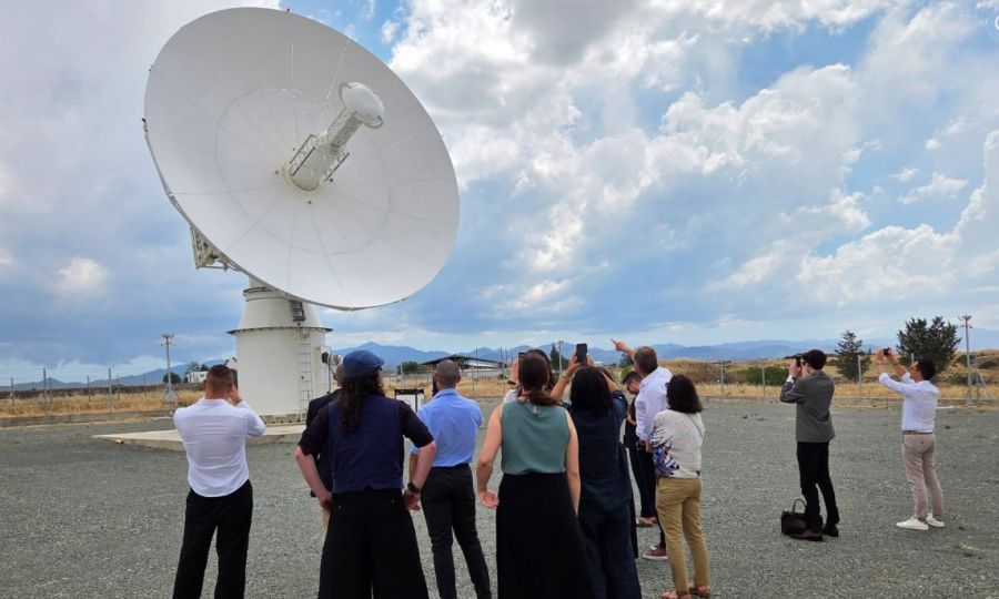
EarthView Cyprus: A New Space-Based Platform Transforming Satellite Data into Real-World Solutions
11 Jun 2026 | by
Cyprus has entered a new era in space technology with the launch of EarthView Cyprus, a strategic initiative designed to transform satellite observations into practical solutions for environmental monitoring, climate resilience, economic development, and public safety. The project brings together the ERATOSTHENES Centre of Excellence and Cyta in a partnership focused on strengthening Cyprus’ Earth Observation capabilities and establishing the island as a regional centre for satellite-based services. At the heart of EarthView Cyprus is the Satellite Data Acquisition Station (sDAS), an advanced infrastructure capable of receiving and processing satellite data in near real time from the Cyta satellite station in Pera Orinis. The initiative represents a shift in how satellite technology can be used—not only for scientific research but as an operational tool supporting everyday decision-making. EarthView Cyprus will enable applications in wildfire monitoring, drought assessment, agricultural management, maritime surveillance, climate analysis, disaster response, and environmental protection. By combining satellite imagery with artificial intelligence, geospatial analytics, and advanced modelling techniques, the platform will help authorities and organisations better understand changes occurring across Cyprus and the wider region. One of the most important applications of the system is improving Cyprus’ ability to respond to climate-related challenges. The island faces increasing pressures from rising temperatures, prolonged drought periods, water scarcity, extreme weather events, and ecosystem degradation. Continuous satellite monitoring can provide early indicators of environmental stress, allowing authorities to move from reactive crisis management towards proactive planning and prevention. For example, satellite-derived information can support early wildfire detection, identify areas affected by vegetation stress, monitor reservoir conditions, and improve water resource management. Agriculture is another sector expected to benefit significantly from EarthView Cyprus. Satellite data can support precision agriculture by monitoring crop health, soil moisture, irrigation efficiency, and land conditions. Farmers and agricultural organisations can use these insights to optimise water use, reduce costs, increase productivity, and adapt farming practices to changing climate conditions. This is particularly important for Cyprus, where limited water availability and increasing heat stress create challenges for sustainable agricultural production. The platform also strengthens Cyprus’ capabilities in maritime and coastal monitoring. Due to its geographic position in the Eastern Mediterranean, Cyprus can use Earth Observation data to support monitoring of marine environments, coastal changes, pollution risks, and offshore activities. The availability of timely satellite information enhances the country's ability to protect marine resources, support environmental regulation, and improve regional cooperation. Beyond national applications, EarthView Cyprus has a broader strategic importance. Located at the crossroads of Europe, the Middle East, and North Africa, Cyprus is ideally positioned to provide Earth Observation services to a wider geographical region. The initiative supports the country’s ambition to become a regional hub for space technologies by connecting scientific expertise, satellite infrastructure, innovation ecosystems, and international partnerships.
Read article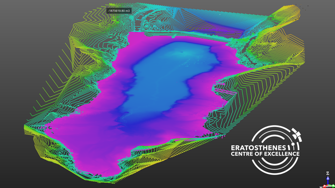
Advanced Remote Sensing Study Reveals Water Loss and Sediment Build-up at Mavrokolympos Dam
9 May 2026 | by
Following the sudden drainage of Mavrokolympos Dam in January 2025 caused by the failure of the dam's discharge system, researchers carried out one of the most comprehensive assessments ever undertaken on a Cypriot reservoir. The study combined multiple Earth Observation technologies—including Terrestrial Laser Scanning (TLS), Unmanned Aerial Vehicle (UAV) photogrammetry, and high-resolution PlanetScope satellite imagery—to accurately quantify water loss, map sediment accumulation, and evaluate the reservoir's remaining storage capacity. The investigation took advantage of the rare opportunity created by the rapid emptying of the reservoir to compare conditions immediately before and after the incident. Daily satellite imagery captured the dramatic reduction in the reservoir's surface area, while UAV surveys produced ultra-high-resolution orthophotos and digital elevation models of the exposed reservoir bed. These datasets were further validated using millimetre-accuracy Terrestrial Laser Scanning, allowing researchers to generate one of the most detailed three-dimensional representations of the dam ever produced. The integration of satellite, aerial, and ground-based observations provided a level of accuracy that would not have been possible using a single monitoring technique. The analysis estimated that approximately 1.19 million cubic metres of water were lost during the drainage event. In addition to measuring the immediate impact of the infrastructure failure, researchers quantified decades of sediment accumulation within the reservoir. Their findings indicate that sediment deposition has reduced the dam's original storage capacity by approximately 15% since its construction, highlighting the long-term effects of sedimentation on Cyprus' ageing water infrastructure. Detailed mapping also revealed how sediments had accumulated near the river inflow while finer materials had gradually migrated towards the dam wall, providing valuable insights into reservoir dynamics and future maintenance requirements. Beyond assessing a single infrastructure failure, the study demonstrated the growing value of integrated Earth Observation technologies for water resource management in semi-arid regions. The combination of satellite monitoring, UAV mapping, and terrestrial laser scanning enables rapid damage assessment, accurate volume estimation, and continuous monitoring of reservoirs, supporting evidence-based decision-making for drought management, infrastructure resilience, climate adaptation, and long-term water security. The methodology provides a scalable framework that can be applied to reservoirs across Cyprus and other water-stressed regions facing similar challenges from ageing infrastructure and increasing climate variability.
Read article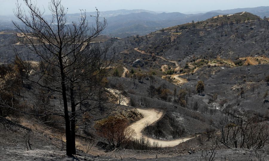
Monitoring the Devastating Limassol Wildfire in Cyprus
28 Jul 2025 | by
A major wildfire that swept through the Limassol district of Cyprus in July 2025 caused extensive environmental damage, with satellite observations revealing that more than 120 square kilometres of land were affected. According to satellite-based analysis conducted following the event, the burned area represented approximately 1.3% of Cyprus’ total land area, making it one of the most significant wildfire events recorded on the island in recent years. The wildfire, which began on 23 July 2025, spread rapidly through mountainous and rural areas of the Limassol region, affecting forests, shrublands, grasslands, protected ecosystems, and nearby communities. Earth Observation technologies provided a rapid and objective assessment of the disaster, allowing researchers to map the extent of burned areas, evaluate ecological impacts, and identify the types of land cover most severely affected. The analysis was based on high-resolution satellite imagery from the PlanetScope satellite constellation, captured shortly after the fire, enabling detailed damage assessment across the affected landscape. Satellite-based land cover analysis demonstrated the wide ecological footprint of the wildfire. Grasslands accounted for the largest proportion of the burned area, representing approximately 51% of the affected land, followed by shrublands at around 31%, forest areas at 15.5%, and residential zones at approximately 1.1%. These findings highlight the vulnerability of Mediterranean ecosystems, where dry vegetation, prolonged periods of heat, and strong winds can create highly favourable conditions for rapid fire expansion. The wildfire also affected environmentally sensitive areas, including locations within the Natura 2000 protected network, such as the Paramaliou River, Cha-Potami, and Limmati Valley areas. Damage to these ecosystems raises concerns regarding biodiversity loss, habitat fragmentation, soil degradation, and long-term impacts on native flora and fauna. Recovery of Mediterranean landscapes after severe wildfires can require many years or even decades, depending on rainfall patterns, ecosystem resilience, and restoration efforts. The event demonstrated the critical role of satellite Earth Observation in modern wildfire management. By combining high-resolution imagery, land cover datasets, and geospatial analysis, scientists can rapidly estimate burned areas, identify affected ecosystems, support emergency response operations, and provide reliable information for post-fire recovery planning. Satellite monitoring also complements traditional firefighting approaches by improving situational awareness during active fires and enabling long-term environmental assessments after flames are extinguished. As climate change increases temperatures, extends dry seasons, and contributes to more extreme fire conditions across the Mediterranean region, advanced Earth Observation systems are becoming essential tools for wildfire preparedness and resilience. Continuous monitoring through satellites, artificial intelligence, and geospatial technologies can help authorities develop early warning systems, improve risk assessments, and implement more effective strategies for protecting communities and natural environments.
Read articlePresentations
Here you can learn more with a long list of presentations
Cyprus Earth Observation for Public Sector
15 Jul 2026 | by