Projects
Cultural Heritage
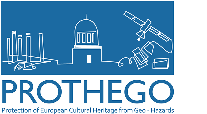
PROTection of European Cultural HEritage from GeO-hazards
New space technology based on radar interferometry is capable of monitoring, since 1992 and with mm precision, surface deformation for reflective targets named persistent scatters (PS), which consistently return stable signals to the radar satellites. The project has applied this new technique to monuments and sites that were potentially unstable due to landslides, skin holes, settlement, subsidence, active tectonics as well as structural deformation.
6 Oct 2022
See moreCultural Heritage
Inclusive Cultural Heritage in Europe through 3D semantic modelling
INCEPTION solves the shortcomings of state-of-the-art 3D reconstruction by significantly enhancing the functionalities, capabilities and cost-effectiveness of instruments and deployment procedures for 3D laser survey, data acquisition and processing. It solves the accuracy and efficiency of 3D capturing by integrating Geospatial Information, Global and Indoor Positioning Systems (GIS, GPS, IPS) both through hardware interfaces as well as software algorithms.
6 Oct 2022
See more
Energy
Smart Grids Energy management Staff
Smart grid is a dynamically interactive real-time infrastructure concept that encompasses the many visions of diverse energy system stakeholders. The Smart Grid is integrating the electrical and information technologies in between any point of generation and any point of consumption. The main objective of the project is to fully analyze all aspects of smart grids targeting in the improvement of reliability, mitigation of security risks, increase load shaping and energy efficiency.
6 Oct 2022
See more
Other
ECOPOTENTIAL: IMPROVING FUTURE ECOSYSTEM BENEFITS THROUGH EARTH OBSERVATIONS
ECOPOTENTIAL makes significant progress beyond the state-of-the-art and creates a unified framework for ecosystem studies and management of protected areas (PA). ECOPOTENTIAL focuses on internationally recognized PAs in Europe and beyond in a wide range of biogeographic regions, and it includes UNESCO, Natura2000 and LTER sites and Large Marine Ecosystems. Best use of Earth Observation (EO) and monitoring data is enabled by new EO open-access ecosystem data services (ECOPERNICUS).
6 Oct 2022
See more
Atmosphere
Monitoring Atmospheric Composition and Climate –III
MACC-III is the last of the pre-operational stages in the development of the Copernicus Atmosphere Service. Its overall institutional objective is to function as the bridge between the developmental precursor projects - GEMS, PROMOTE, MACC and MACC-II- and the Atmosphere Service envisaged to form part of Copernicus Operations. MACC-III will provide continuity of the atmospheric services provided by MACC-II.
6 Oct 2022
See more
Information Extraction
Copernicus Academy Hub for Knowledge, Innovation and Outreach
The overall objective of CopHub.AC is to create a knowledge and innovation hub with several nodes (secretariat, research briefs, knowledge landscape, outreach, sustainability) to focus and link ongoing R&D activities in Copernicus-relevant academic fields, and to sustain the innovation process from academia to businesses on the highest possible scientific and technical level, with a clear commitment to a full thematic and geographic coverage for a Europe-wide boost in space uptake.
6 Oct 2022
See more